Drone Photography for Property Management in Vernon
Why Property Managers Need Aerial Imagery
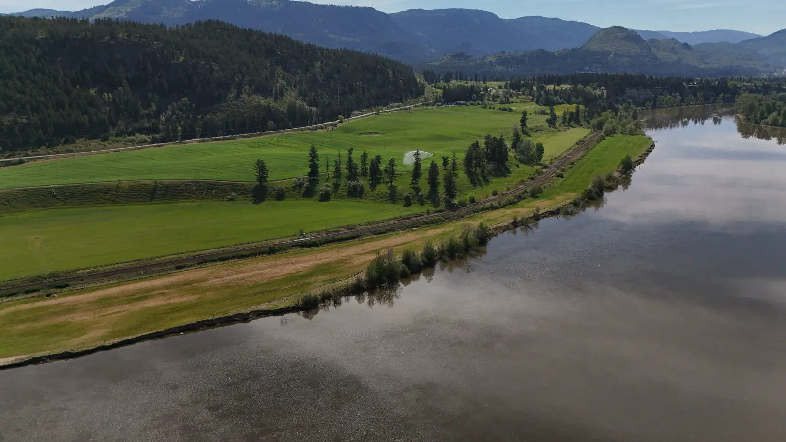
Managing properties in Vernon and the surrounding BC areas involves more than just handling leases and repairs. You also need to keep track of the physical condition of your assets. Standard ground-level photos miss critical details. They do not show roof conditions, drainage patterns, or the full extent of landscaping. Aerial photography provides a complete view that helps you make informed decisions.
For property managers overseeing multiple units or commercial sites, visual documentation is essential. It allows you to spot issues before they become expensive problems. It also provides a clear record for insurance claims or tenant disputes. When you have a bird-eye view, you can verify the scope of work needed for maintenance projects.
How Aerial Documentation Supports Maintenance
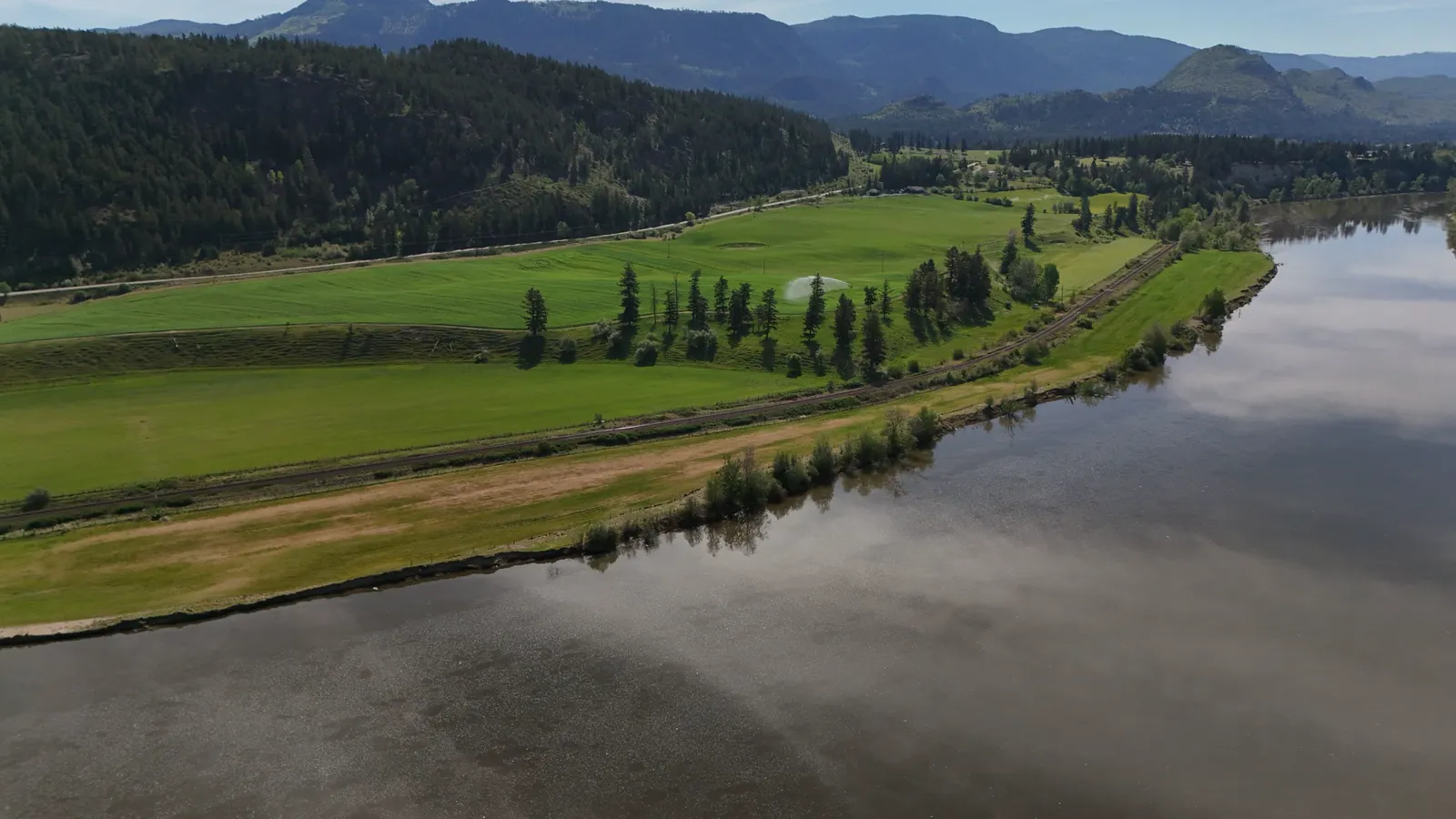
Routine maintenance is easier when you have accurate visual data. Drone photography allows you to inspect roofs, gutters, and siding without sending a worker up a ladder. This reduces safety risks and speeds up the assessment process. You can identify missing shingles, blocked drains, or structural wear from the ground.
This approach is particularly useful for larger properties or those with difficult access points. In the Vernon area, where properties can range from downtown condos to acreages on the outskirts, having a consistent documentation method is valuable. You can compare current images with past records to track changes over time. This helps in planning long-term maintenance budgets.
Marketing and Tenant Acquisition
High-quality imagery attracts better tenants. When you list a property for rent or sale, aerial photos show the entire property layout. They highlight outdoor amenities like patios, gardens, or parking areas. For commercial properties, these images show proximity to main roads and available space for signage or loading.
Clear visuals help tenants understand what they are signing up for. This reduces misunderstandings and sets the right expectations. For property managers, this means fewer vacancies and a smoother leasing process. It is a practical tool for showcasing the value of your portfolio.
Selecting a Service Provider
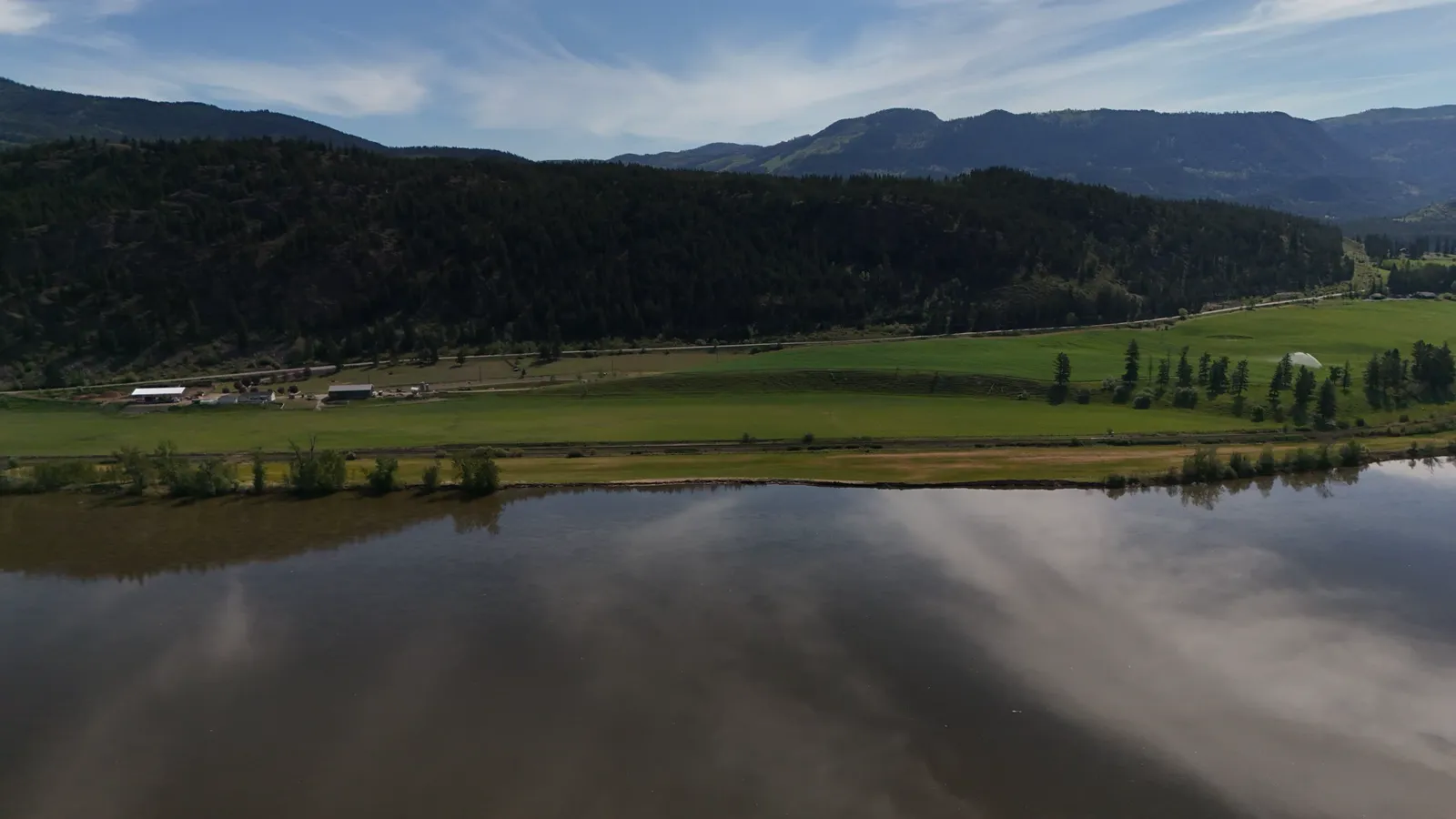
Not all drone operators have the same level of training or equipment. It is important to choose a provider who understands the local regulations and safety requirements. In Canada, drone pilots must hold specific certifications to operate legally. Look for a pilot with Transport Canada Advanced RPAS certification. This ensures they have the training to fly safely in various conditions.
Insurance is another key factor. A professional service should carry commercial liability insurance. This protects you in case of any unforeseen incidents during the shoot. A crew with a Visual Observer adds an extra layer of safety, ensuring the pilot can see the drone at all times.
Understanding the Process
The workflow for drone photography is straightforward. You contact the service provider with your property details and desired shots. They will schedule a time that fits your schedule. On the day of the shoot, the pilot will arrive and set up the equipment.
The flight itself is usually quick. The pilot captures high-resolution images and video from safe altitudes. After the flight, the images are edited for clarity and color balance. You then receive the final files, ready for use in your reports or marketing materials. The entire process is designed to be efficient and minimally disruptive to your daily operations.
Practical Applications for BC Business Owners
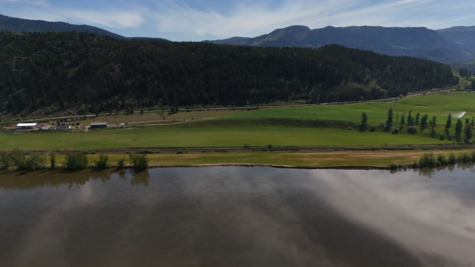
Property management in British Columbia covers a wide range of property types. Whether you manage a small rental home in a smaller town or a commercial complex in Vernon, the benefits of aerial imagery are the same. You get a comprehensive view that ground-level photos cannot provide.
This service is also useful for construction progress tracking. If you are overseeing renovations or new builds, regular aerial updates help you monitor progress without being on-site every day. This is especially helpful for owners who manage properties across different regions.
Getting Started
If you are ready to improve your property management workflow, consider adding drone photography to your routine. It provides clear, actionable data that helps you manage your assets more effectively. For property managers in Vernon and the rest of the BC Interior, having a reliable local provider makes the process seamless.
Hutton Aerographics serves the Kamloops area, the BC Interior, and the Lower Mainland. They offer real estate photography and other aerial services tailored to business needs. You can reach them by visiting their website at https://huttonaerographics.ca or by calling (250) 315-7222. New clients receive a discount on their first booking, making it an accessible option to start documenting your properties today.