Drone Photography for Construction in Vernon
Managing construction sites in Vernon
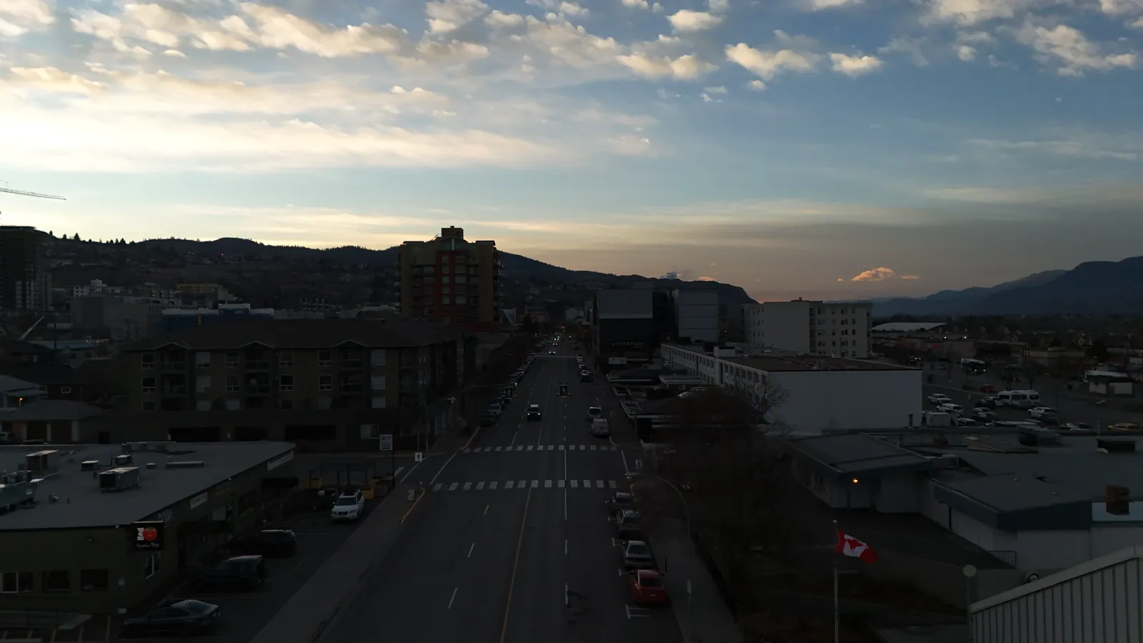
Building projects in the Okanagan Valley present unique logistical challenges. Whether you are managing a residential build in a new subdivision or a large-scale commercial development, keeping track of every moving part is difficult. Drone photography for construction in Vernon provides a way to see the entire site from above without needing to walk the perimeter every day.
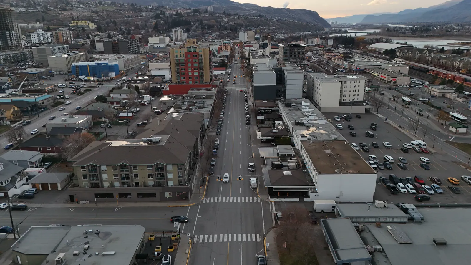
Using aerial imagery allows site managers to monitor progress from a single vantage point. Instead of relying on ground-level photos that might miss structural shifts or material placement, a drone provides a clear view of the whole footprint. This is particularly useful for documenting work that is about to be covered up, such as foundation work or underground utility installation.
Site documentation and progress tracking
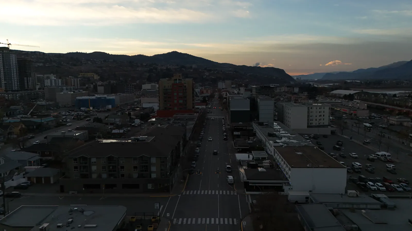
Regularly scheduled flights can create a visual timeline of your project. By capturing photos and video at consistent intervals, you build a historical record of the construction process. This documentation is useful for several reasons:
- Verifying that work matches the architectural plans.
- Providing updates to stakeholders and investors.
- Identifying potential site issues before they become costly errors.
- Creating marketing assets for completed projects.
For more complex projects, advanced data can be extracted from the imagery. Beyond standard photos, high-end packages include orthomosaic maps. These are highly accurate, scaled maps created by stitching many photos together, allowing you to measure distances and areas directly on the image.
Volumetric measurements and stockpiles
Managing raw materials is a constant task on any job site. Measuring piles of gravel, sand, or soil by eye is inaccurate and time-consuming. Drone technology allows for volumetric measurement of stockpiles. This process uses aerial data to calculate the volume of a pile, helping you manage inventory and track material usage more effectively.
This method reduces the need for manual measurement and keeps workers away from heavy machinery, improving overall site safety. It provides a concrete number that can be used for ordering more material or verifying deliveries.
Professional standards and safety
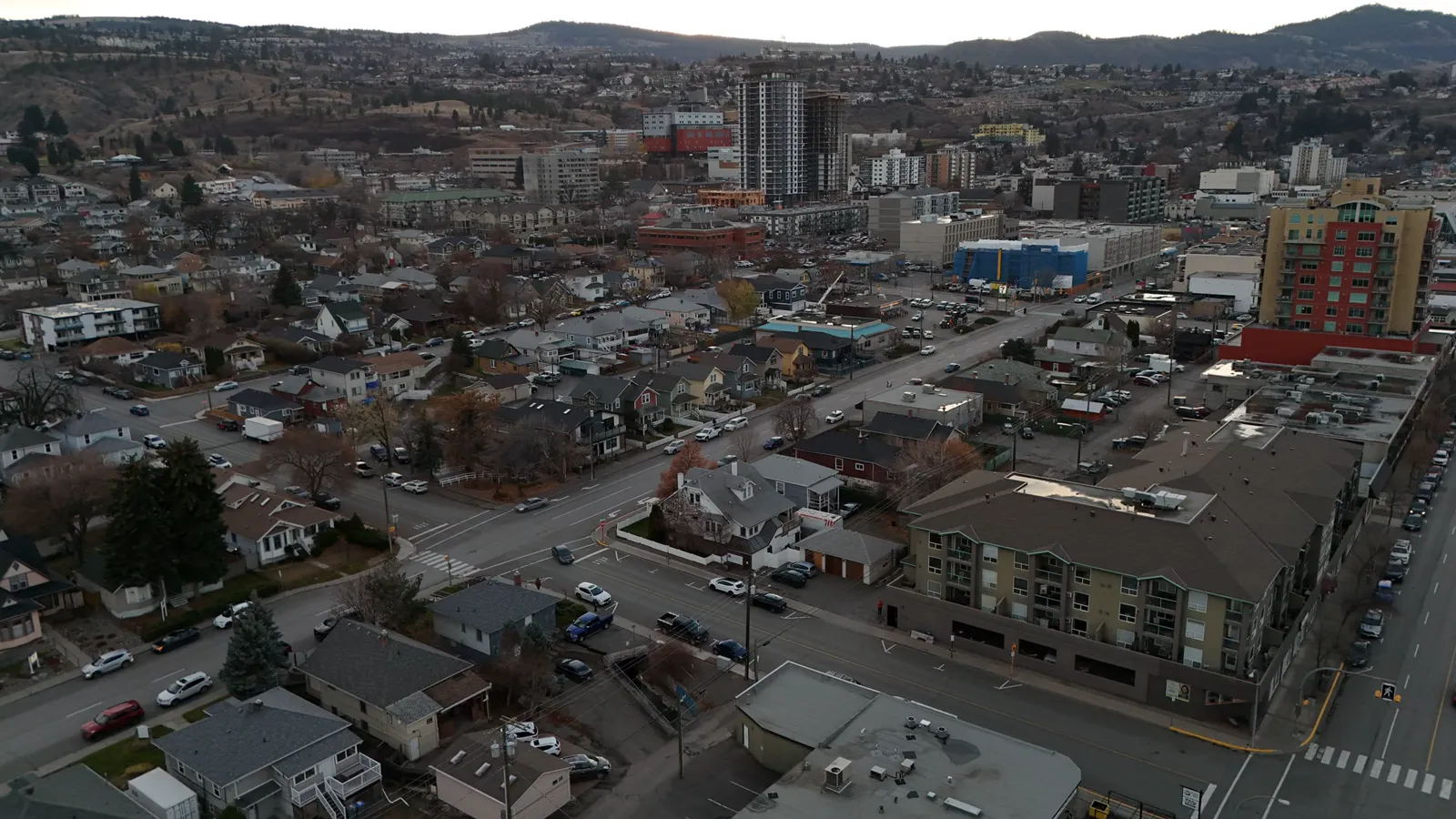
When hiring a drone pilot for a construction site, safety and legality are the primary concerns. Construction sites are high-risk environments with moving machinery, power lines, and changing terrain. It is important to work with a provider that holds a Transport Canada Advanced RPAS pilot certificate.
Professional services include commercial liability insurance to protect your business. Having a Visual Observer certified crew further ensures that the flight is conducted safely, minimizing disruptions to your active work zone.
How the process works
Working with a drone service for your Vernon project typically follows a few simple steps. First, you define the specific goals, such as weekly progress photos or a one-time stockpile measurement.
Once the flight is scheduled, the pilot arrives on-site and conducts a pre-flight safety check. The drone is flown according to the specific needs of the site, capturing the necessary angles and data points. After the flight, the data is processed and delivered to you. For standard progress photos, this is a straightforward delivery of high-resolution images.
For more technical needs, such as point cloud exports or detailed mapping, the processing time may vary. This data gives you a digital twin of your site that can be used for long-term planning and detailed analysis.
If you are looking to document your next project in Vernon or the surrounding BC Interior, Hutton Aerographics can assist. You can reach us at (250) 315-7222 or visit our website at https://huttonaerographics.ca.