Drone Photography for Construction in Kamloops and BC
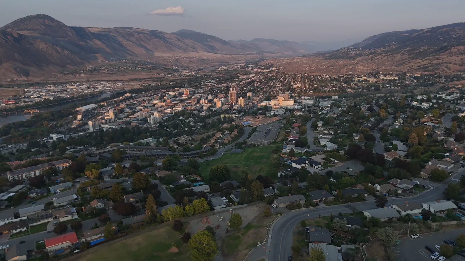
Managing construction sites from the air
For small business owners in the construction sector, keeping track of a project's progress can be a significant logistical challenge. Whether you are managing a residential build in Kamloops or a large-scale development in the BC Interior, having a clear, bird's-eye view of the site provides a level of oversight that ground-level photos simply cannot match.
Drone photography offers a way to document every stage of a build without the need for staff to walk the entire site daily. This is particularly useful for verifying that work matches the blueprints or for identifying potential site issues before they become costly mistakes. By capturing the site from above, you gain a perspective that helps in planning logistics, such as where to stage materials or how to manage heavy machinery movement.
Documentation and progress tracking
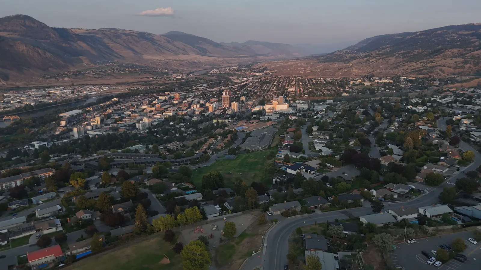
Regular aerial documentation serves several practical purposes on a busy job site. Using a drone for progress photos and aerial video allows you to create a visual timeline of the construction process. This timeline is useful for several reasons:
- Client updates: Send clear, high-resolution images to stakeholders to show exactly how the project is advancing. This builds trust and reduces the number of phone calls asking for status updates.
- Project portfolios: Build a library of high-quality media to use in future bids, tenders, and marketing materials. Showing a completed project from the air is a powerful way to demonstrate your capabilities to new clients.
- Site records: Maintain an accurate visual history of the site for insurance, legal, or compliance purposes. If a dispute arises regarding the state of the site at a specific date, aerial imagery provides an objective record.
For more advanced technical needs, services like orthomosaic maps and point cloud exports provide detailed data that goes beyond simple photography. Orthomosaic maps combine many aerial images into a single, highly accurate map, allowing you to measure distances and areas directly on the image. Point cloud exports provide a three-dimensional representation of the site, which is invaluable for complex structural documentation.
Volumetric measurements and site data
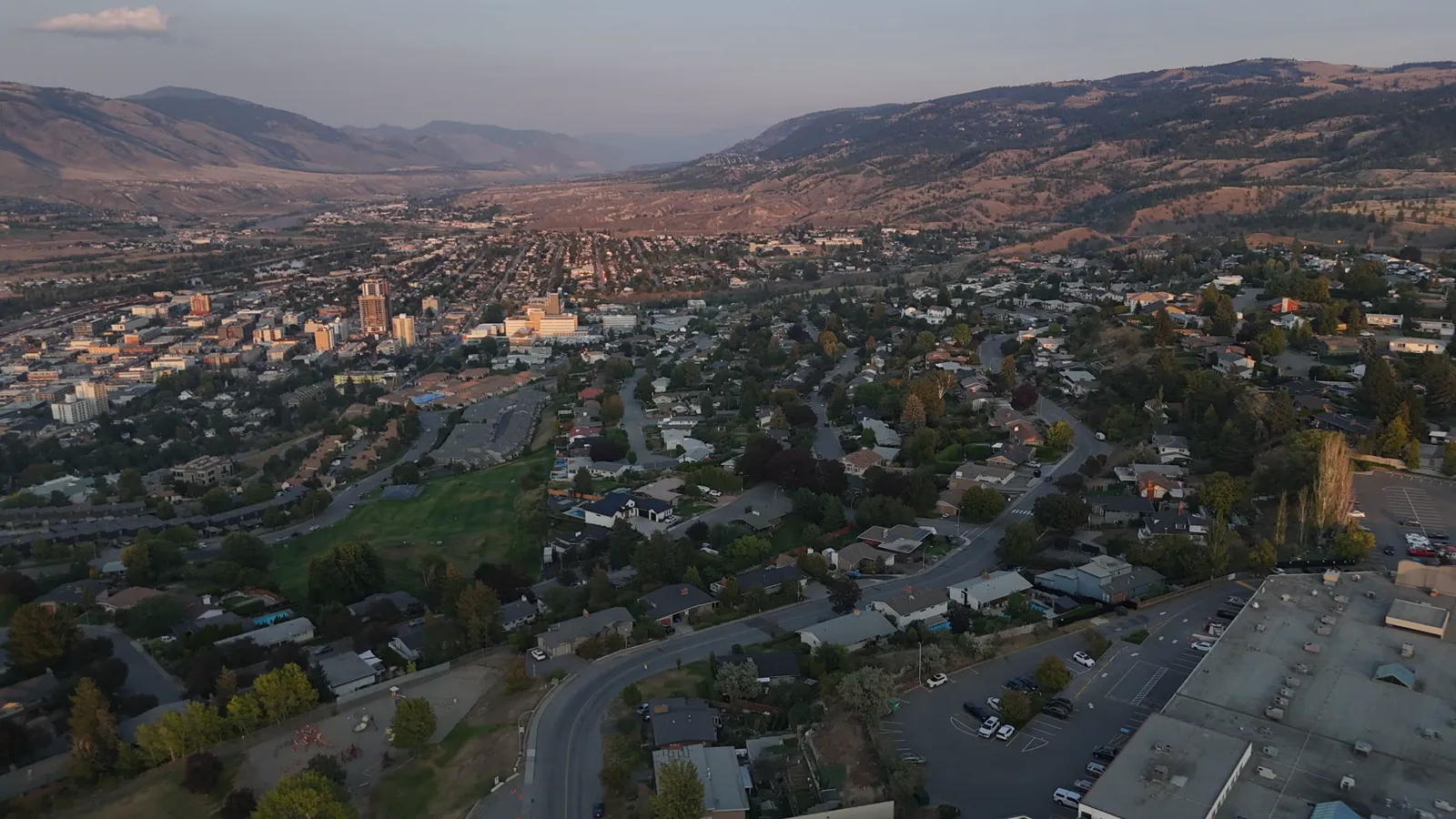
Beyond standard photography, drones can assist with technical site management through stockpile measurement. In many construction and excavation projects, managing the volume of raw materials is critical to the budget. Instead of manual surveying, which can be slow, labor-intensive, and potentially unsafe, a drone can capture the data needed to calculate the volume of materials like gravel, sand, or soil.
This data helps in managing inventory and ensuring that material deliveries match what was ordered. By knowing the exact volume of your stockpiles, you can better plan your project schedule and avoid unnecessary re-ordering or unexpected shortages.
Safety and compliance on site
When hiring a drone pilot for a construction site, it is important to ensure they meet specific industry standards. Construction sites are complex, high-risk environments featuring moving machinery, overhead power lines, and various safety protocols.
Working with a Transport Canada Advanced RPAS pilot means the operator is trained to fly in more complex environments safely. Furthermore, having $2M in commercial liability insurance and a visual observer certified crew ensures that the drone operations do not introduce new risks to your site or your workers. Choosing a professional with these credentials provides peace of mind that the aerial work is being conducted according to Canadian regulations.
Serving Kamloops and the BC Interior
Whether your project is located within Kamloops city limits or in a smaller town across the BC Interior or the Lower Mainland, professional aerial services are available to assist you. We understand that construction schedules are tight and that downtime is expensive. Our goal is to provide efficient, reliable imagery that fits into your existing workflow.
For projects located outside the Kamloops city limits, a standard travel fee of $0.55/km applies. This allows us to bring professional aerial documentation to remote sites across the province, ensuring that even the most isolated developments can benefit from high-quality site data.
Using drones for construction is a practical way to improve documentation, manage materials, and communicate progress to your clients with clarity and professionalism. It is an investment in the accuracy and efficiency of your project management.
To learn more about drone services for your next project, contact Hutton Aerographics at (250) 315-7222 or visit https://huttonaerographics.ca.